Exhibit II
A Geological Witness to History
Long before any name was given to it, the rock was shaped by water, time and weather.
Geology
Background & Estimated Age
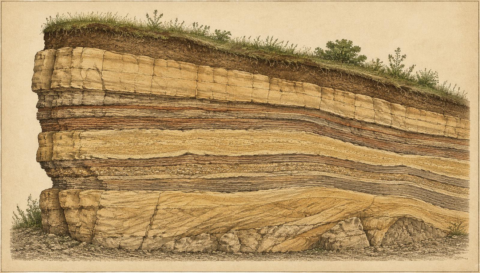
Sandstone forms when sand grains are deposited — by rivers, shorelines or wind — then buried and cemented together over long spans of time.
Identification of the specific geologic formation and its age from Missouri Geological Survey maps.
Composition
Sandstone & Weathering
Sandstone is composed mainly of quartz grains bound by natural cements such as silica, calcite or iron oxides. Rain, freeze–thaw cycles and wind gradually round its edges and open joints, producing the rounded, fissured surfaces typical of exposed outcrops.
Setting
Appearance & Location
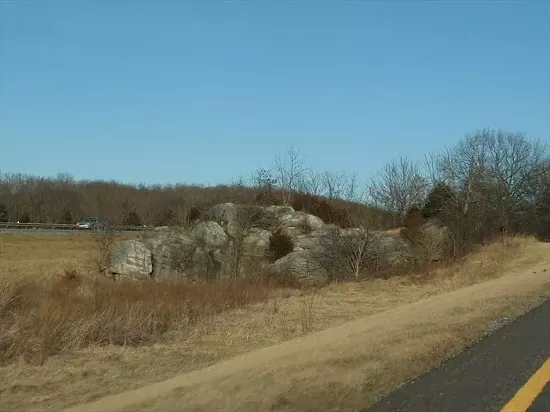
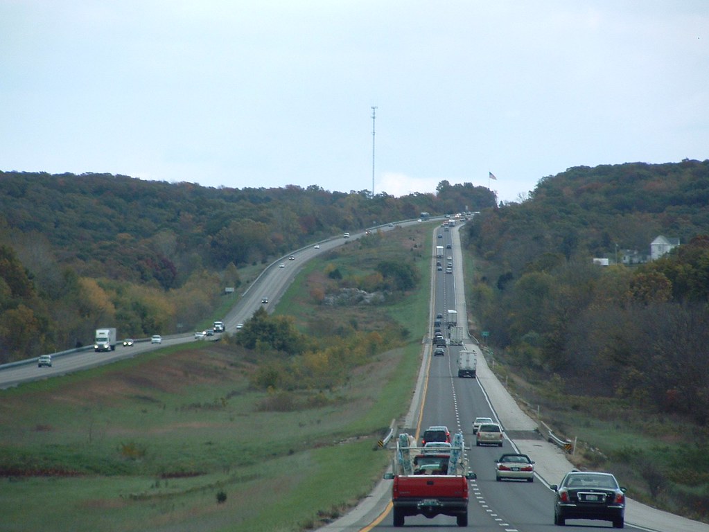
The rock stands within the Interstate 70 corridor near Mineola in Montgomery County, where it remains visible to passing travelers.
Measured dimensions and a verified description of the formation.
Gallery
Photographs of the Rock
Stewardship
Preserving the Rock
That the rock remains recognizable amid a modern interstate is itself part of its story. Understanding how it survived construction, and who cares for it today, is central to its preservation.
Records of any preservation actions, markers, or agency decisions concerning the formation.